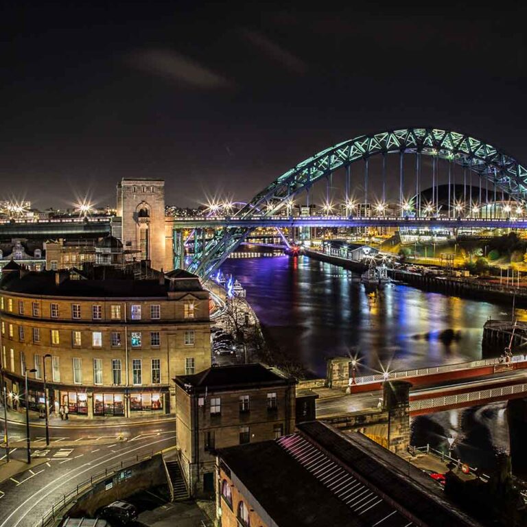
The Newcastle Music Map (v.1.0) is part of a longstanding and evolving programme of research around live music and its relationship to locality.
The database underpinning the map has its roots in UK Live Music Census of 2017 – where Newcastle and Gateshead featured as a key case study – which is being updated for the post-pandemic context. The creation of the digital map draws on the methodology used for work in Birmingham in 2020. The interactive map features venues used for live music within the NE postcode area, organized across different venue types, and aligned with the maps of other cities to enable meaningful comparisons.
The area has a rich history of live music activity and, across more than 140 venues there is a rich variety of spaces of different kinds and sizes. These include much-valued grassroots spaces like The Cluny, featuring touring and local artists across popular music genres, to the Glasshouse (formerly Sage) – home to the Royal Northern Sinfonia – whose concert halls host leading artists spanning jazz, folk, classical, rock and beyond.
Longstanding multipurpose sites like the Literary and Philosophical Society (the Lit and Phil), and Newcastle Arts Centre (including the Jazz Café and The Black Swan) co-exist with commercially touring stops like the O2 Academy and major sites like the Utility Arena. The keywords most often used by respondents to the UK Live Music Census to describe live music in the city were ‘varied, exciting, vibrant, and diverse’. That is borne out by the presence on this map of spaces representing the full range of music from underground and alternative at World Headquarters, rock at Trillians, and folk sessions at The Cumberland Arms amongst a thriving variety.
The mapping process is iterative and as we develop the map’s functionality, we hope to be able to examine and support the development of the city’s musical life.


